Myriota in the News: Satellite monitoring the key to water policy
15 Oct 2020
Originally published by The Australian and written by Tom Rayner, VP of Sales at Myriota.
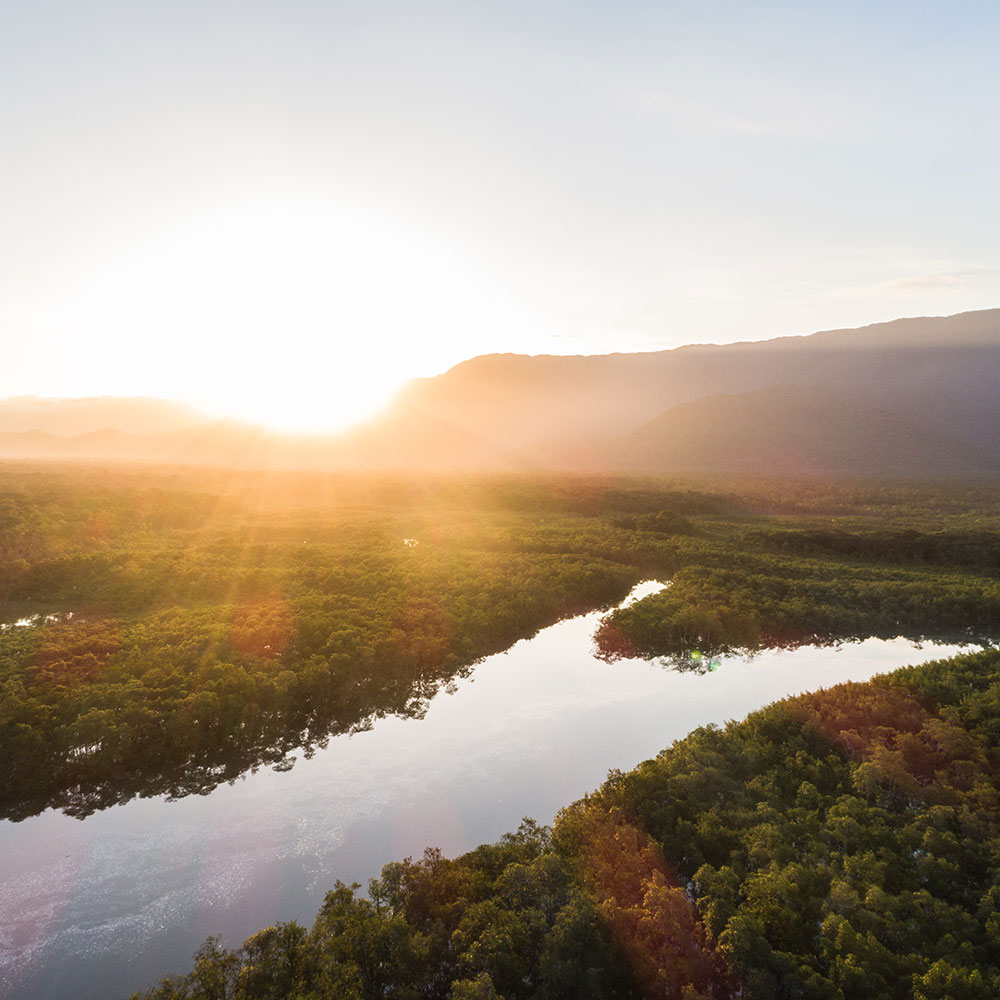
Australia is the driest inhabited continent in the world. Our largest water resource — the Murray-Darling Basin — generates nearly $19 billion in agricultural produce each year and provides water for more than 3 million people.
Given its importance, we need to ask ourselves if we are doing all we can to effectively manage this stressed resource. Governments continue to allocate significant funds to the issue. The Howard government introduced the $10bn National Plan for Water Security and the Rudd government introduced the $13bn Murray-Darling Basin Plan in 2012.
Despite these investments, stakeholders remain divided on whether the promised environmental and community benefits have been realised. Irrigators are struggling with higher water costs and smaller allocations, as are regional communities whose livelihoods are linked to the river system.
The management of the Murray-Darling Basin is complex. Commentators should resist the urge to suggest there is a magic bullet to fix the issue, and environmental, economic, social and cultural factors need to be taken into consideration. It is shortsighted for people to make comments on how to manage the basin when they don’t have robust data to back up their claims.
We can’t manage what we can’t monitor
Previously, the cost-effective collection of timely and meaningful data from across the Murray-Darling Basin has proven extremely difficult to achieve.
It hasn’t been possible to connect meters, monitors and sensors at an affordable price point. As a result, monitoring has been sporadic, expensive, intermittent, or non-existent. This lack of data, combined with a complex political and legislative landscape, has contributed to the present situation.
Challenging the status quo
Despite advancements in mobile phone technology, a lack of coverage in rural areas means huge numbers of the water meters across the Murray Darling Basin are manually monitored — often by the licensee.
Some of these meters rely on people to drive large distances, manually read the meter, and drive back again to enter the reading into an online database or via paper form. In some instances these readings are captured just two times a year.
While most farmers comply with their licenses, it is unrealistic to expect governments, industry and environmental groups to manage such a dynamic and seasonally affected water resource with just two retrospective meter readings a year.
Space age monitoring
When you think of water monitoring, your first thought may not be of the space industry.
However, new Australian nanosatellite technology can provide large scale, low cost connectivity to monitor huge numbers of remote meters and sensors across the Murray-Darling Basin. These satellites are smaller, cheaper, and easier to launch than ever before. They are the same size as a loaf of bread, and can communicate with huge populations of devices.
This technology is making a fundamental difference to the way we monitor the basin. Expensive, unreliable, and manual meter reads are a thing of the past. We can now connect to sensors daily for less than $1 a month.
Meters and sensors have been deployed across the basin for decades, but it’s the advancements in satellite technology that now enable them to be connected on such a wide scale and at such a low cost. We are on the brink of disruptive change in the way we manage Australia’s largest water resource.
The tipping point for the Murray-Darling Basin’s health comes at a time when home grown, ultra-low-cost satellite technology is changing the water management landscape for the better.